Official tourism site of the municipality of Castiglione della Pescaia
Map of the Castiglione Cycle Paths
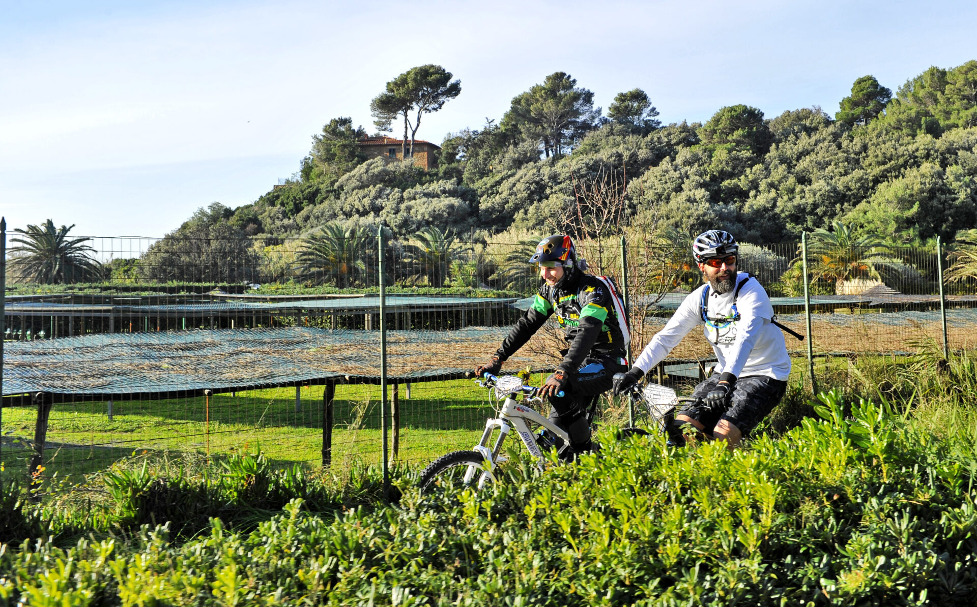
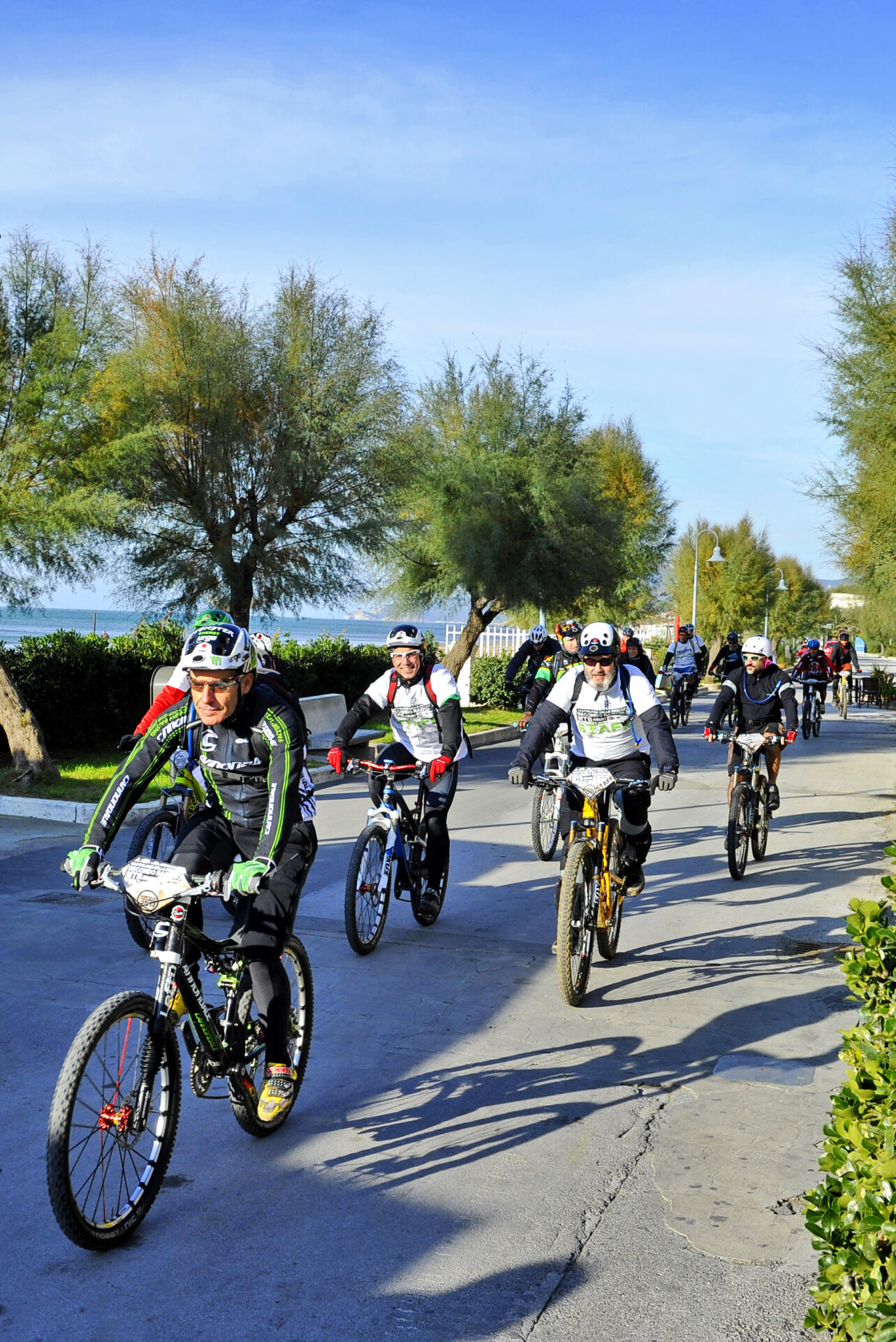
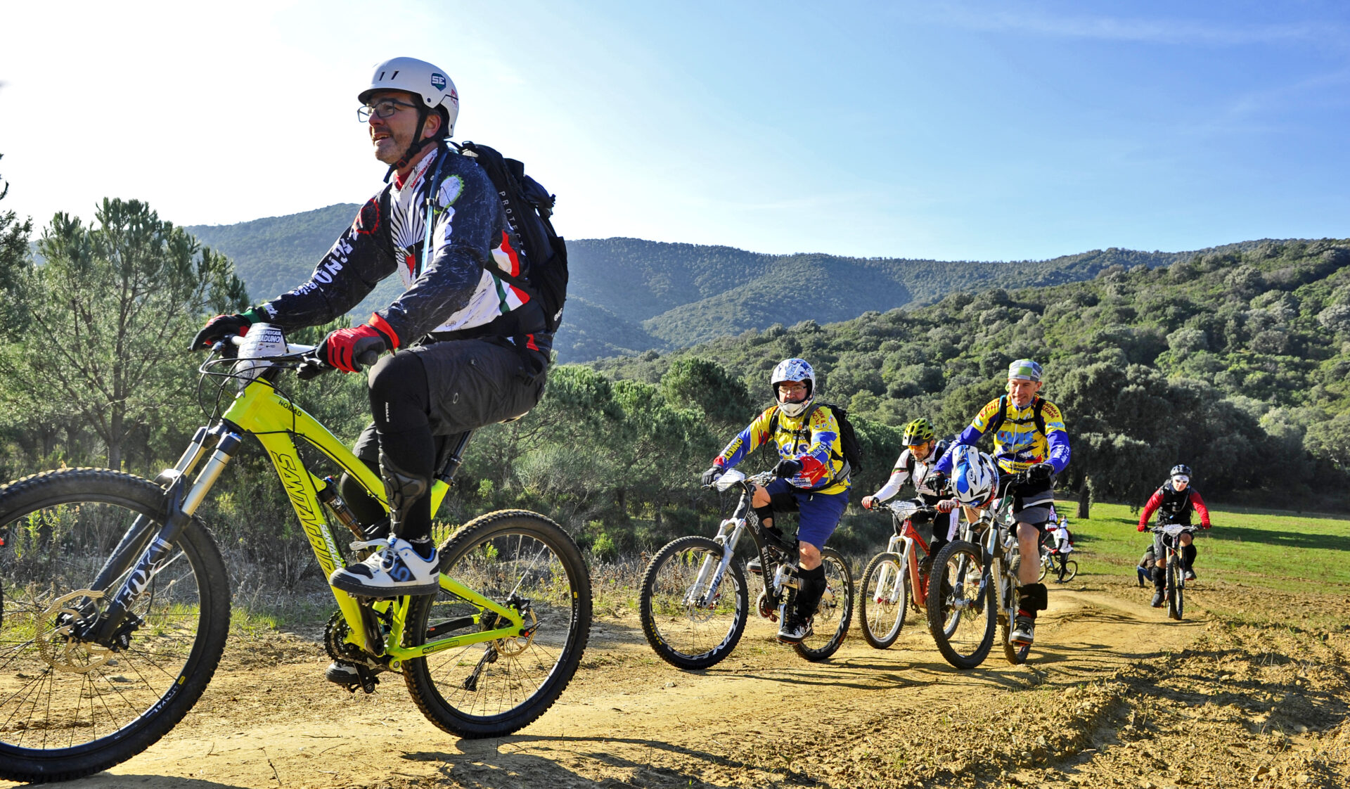
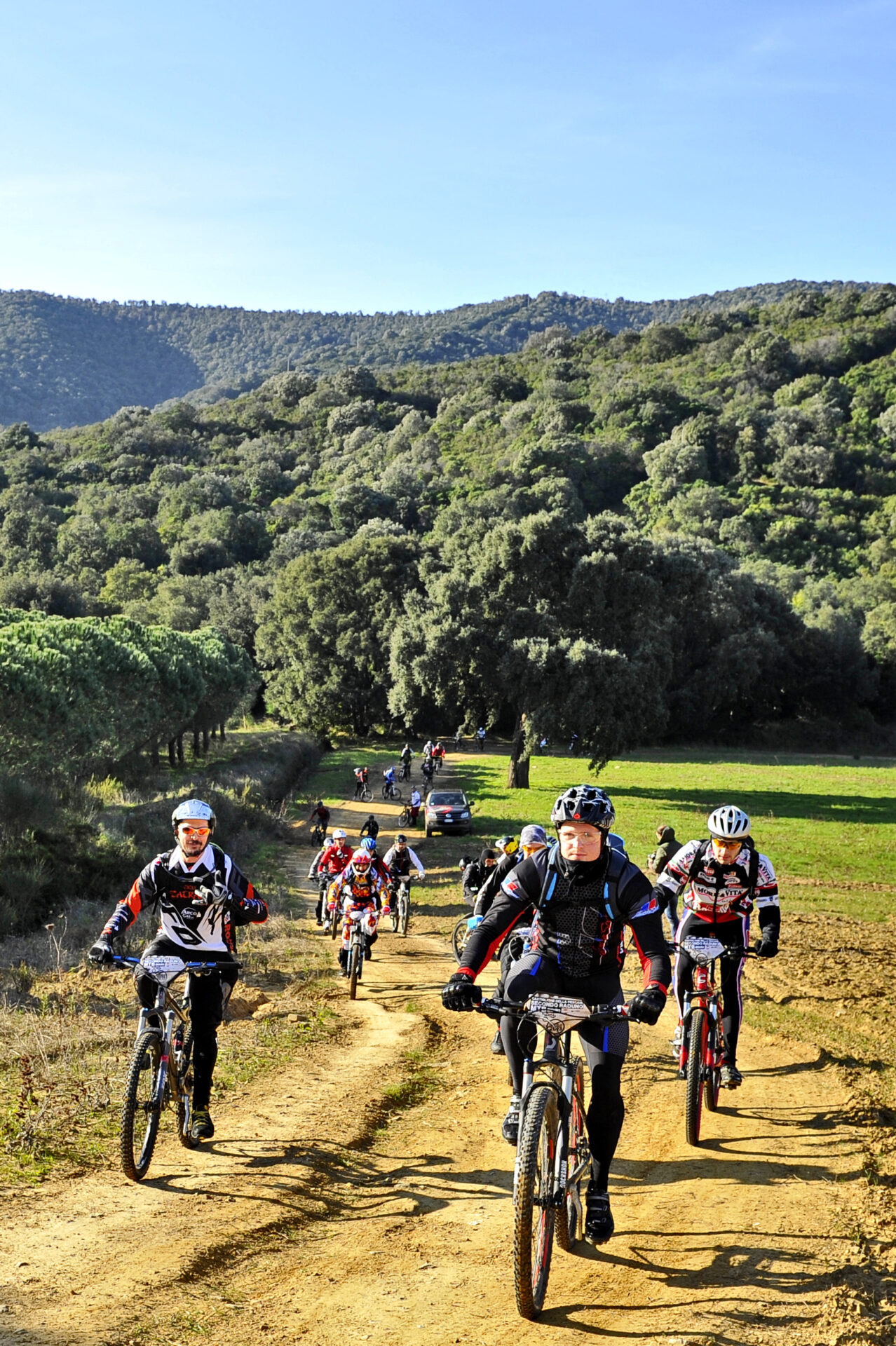
30 paths, ten of which are specialised Enduro routes, a total of 130 kilometres of trails, all mapped with GPS and downloadable thanks to the QRcode.
The new map of the Castiglione paths, a joint effort by the Municipality of Castiglione della Pescaia and the Maremma Experience Consortium, in addition to existing routes, also includes many new ones.
All the trails are well maintained and signposted, and can be used all year round.
A network of cycle paths that connect the entire local area, from the coast to the hinterland, through breathtaking views and the surroundings of Castiglione: Tirli, Buriano, Vetulonia and La Diaccia Botrona to the Punta Ala coast.
The map of the Castiglione paths can be viewed here and can be purchased in printed format from the IAT Tourist Information Office in Piazza Garibaldi, Castiglione della Pescaia.
The path map, made in association with the Maremma Experience Consortium as part of the “Sentieri Castiglionesi” project, is an updated reissue of a map that was made years ago, but it includes other routes, all made usable and maintained in these years, always as part of the collaboration between the Municipal Administration and the Consortium. The project therefore aims to make the Castiglione cycle path network, which links a total of over 130 km of routes, increasingly usable, through new computer and web technologies: GPS mapping has allowed the rendering of GPX files for each individual route, which can be downloaded using a QRcode.
For more information go to sentiericastiglionesi.bike.


